The Art of Cloud Watching
- Truckee Meadows Parks Foundation
- Aug 29, 2022
- 4 min read
by Erin Larsen, Communications Coordinator VISTA

A bunny! A whale! A blob! Whether laying on your back appointing different shapes to the fluffy white cotton balls in the sky, or hiking a mountain and thanking each looming shadow crossing in front of the sun for a moment of shade, we all in some way participate in the art of cloud watching.
As summer slowly fades away and fall creeps in, how do we know what to expect when the once completely clear sky becomes painted with little white clouds? Will they float on their merry way with the wind or should we expect to be drenched as if we took a second shower? For those of us who took a science class way back when and briefly learned the different classifications of clouds, differentiating them now might prove to be quite the challenge. Luckily, the research available to us now is endless and will guide us into the change of the seasons. To start, clouds are typically categorized into three main groups (low, middle, and high clouds) based on their height in comparison to surface level.
Low clouds are found anywhere between where you stand to about 7,000 feet in the sky. In this category we see stratus, nimbostratus, and stratocumulus clouds most commonly. But how do we tell them apart as they float within the same vicinity? Well, stratus clouds are easy to cipher as they can cover all or most of the sky in a way that almost looks like fog, but does not quite reach the ground. When you see a stratus cloud you can expect to feel a light mist, but no exuberant amounts of water.

You can expect the same type of drizzle, and maybe a little more with stratocumulus clouds. The difference is that these clouds are more lumpy looking, and if you hold your hand to the sky and see that the cloud is about the size of your fist, it is a stratocumulus! The cloud in this category, however, that will most help determine whether or not you should have worn a hat, is the nimbostratus cloud. These clouds are dark gray in color, have a threatening ragged base, and typically correlate with continuous rain or snow. So if you see this cloud, put the sandals back in the closet and put on those boots!

As we float between 7,000 - 23,000 feet into the atmosphere we hit the middle clouds, where we most commonly see altocumulus and altostratus clouds. Altocumulus clouds are grayish-white in color, travel in groups, and are known for their puffy appearance. When you spot these clouds floating about on a humid summer morning it’s time to warn your dogs, because a thunderstorm is forthcoming! But, if you look up to the sky and see the sun through a fuzzy almost watery filter of a cloud, then you have spotted the altostratus cloud. These sky consuming blue-gray clouds are typically the messengers that a continuous soaking of rain, courtesy of the nimbostratus cloud, is en route.
Finally, we reach the place in which teachers told us daydreamers to get our heads out of: the high clouds. Sitting anywhere between a whopping 16,000 - 43,000 feet we find the cirrus, cirrocumulus, and cirrostratus clouds. Have you ever looked up at the sky and noticed that the sun has what appears to be a halo around it? No, you are not imagining things, this is in fact the effect of the cirrostratus clouds! These clouds paint the entire sky in a thin white sheet, and the halo appears when light bends from being reflected off of the ice crystals.

Like an angel, this halo is your warning that a rain or snowstorm is on its way (usually within 12-24 hours). Unlike the cirrostratus that stretches across the sky, the cirrocumulus clouds are smaller puffs of white that play “follow the leader” in long rows. Their appearance is often compared to fish scales, granting it the nickname “mackerel sky”. During more fair weather you may more commonly spot cirrus clouds floating high in the sky. They are long wispy streamers of white, and should be regarded in association with a warm front on the way.
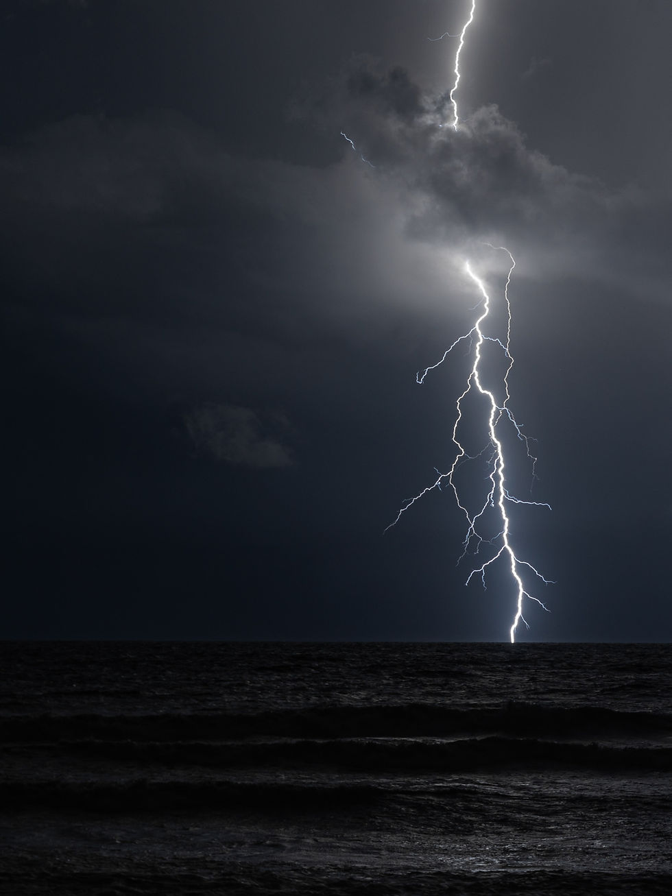
Now, I know what you may be thinking. Weather apps are a thing of the present, surely included in a majority of our daily routines and busy schedules are sure to restrict the amount of time we allow ourselves to enjoy looking up at the sky. But imagine grabbing a blanket and a friend, heading to your local park, laying in the grass, and staring up at the sky calling out the different shapes and types of clouds. Or on your daily walk to work, put that phone in your back pocket and (while watching out for any poles) lean your head back to decipher if it'll be a peaceful walk home or if thunder will accompany you. That, is the art of cloud watching.
No matter where you do it, the art of cloud watching can be a fun way to step outside, step back from your daily stressors, and (for the pros) perhaps be an informative dress code.
About the Author:

Erin graduated from Western Washington University with a BA in Communications in 2020. She is excited to work with the Truckee Meadows Parks Foundation as the Communications Coordinator, because it allows her to combine her love of the outdoors and volunteering as an active member in her community. Outside of work Erin loves hiking, swimming, rock climbing, and drinking lots of coffee.
References:
UCAR Center for Science Education. Cloud Types retrieved 8/12/22.
Lake Superior Magazine. How to Identify Cloud Types retrieved 8/12/22
Jet Propulsion Laboratory, California Institute of Technology. The Types of Clouds and What They Mean retrieved 8/12/22 https://www.jpl.nasa.gov/edu/learn/project/the-types-of-clouds-and-what-they-mean/


Click here provide members with discounts on over-the-counter medications, vitamins, and health essentials, promoting better health management and cost-effective wellness solutions. kaiserotcbenefits.com - more details here
Click here help you find recent death notices, providing information about funeral services, memorials, and tributes for loved ones in your area. obituariesnearme.com - more details here
Click here? Many users have had mixed experiences with the platform, so it's important to read reviews and verify deals before booking. istravelurolegit.com - more details here
代发外链 提权重点击找我;
google留痕 google留痕;
Fortune Tiger Fortune Tiger;
Fortune Tiger Fortune Tiger;
Fortune Tiger Slots Fortune…
站群/ 站群;
万事达U卡办理 万事达U卡办理;
VISA银联U卡办理 VISA银联U卡办理;
U卡办理 U卡办理;
万事达U卡办理 万事达U卡办理;
VISA银联U卡办理 VISA银联U卡办理;
U卡办理 U卡办理;
온라인 슬롯 온라인 슬롯;
온라인카지노 온라인카지노;
바카라사이트 바카라사이트;
EPS Machine EPS Machine;
EPS Machine EPS Machine;
EPS Machine EPS Machine;
google 优化 seo技术+jingcheng-seo.com+秒收录;
Fortune Tiger Fortune Tiger;
Fortune Tiger Fortune Tiger;
Fortune Tiger Fortune Tiger;
Fortune Tiger Slots Fortune…
站群/ 站群
gamesimes gamesimes;
03topgame 03topgame
EPS Machine EPS Cutting…
EPS Machine EPS and…
EPP Machine EPP Shape…
Fortune Tiger Fortune Tiger;
EPS Machine EPS and…
betwin betwin;
777 777;
slots slots;
Fortune Tiger Fortune Tiger;